Nautical Charts & Maps
By LW Brands, LLC · Navigation · $8.99 ✓ Updated Today
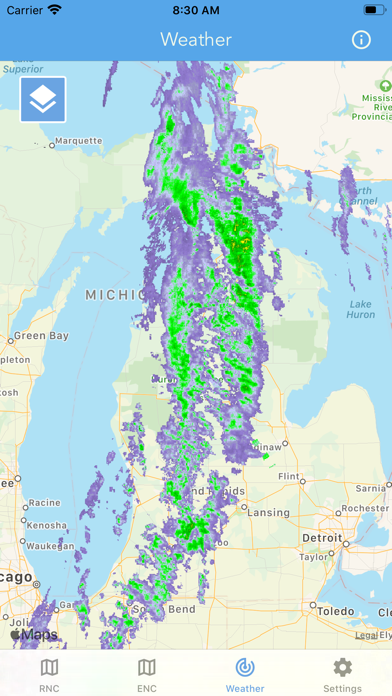
Screenshots
About
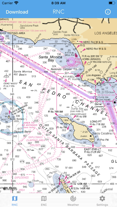
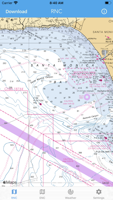
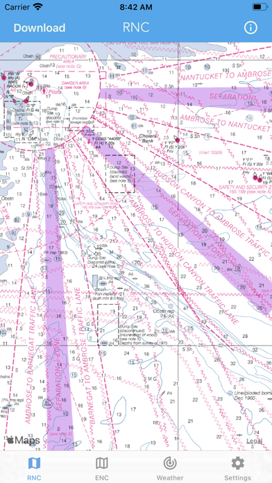
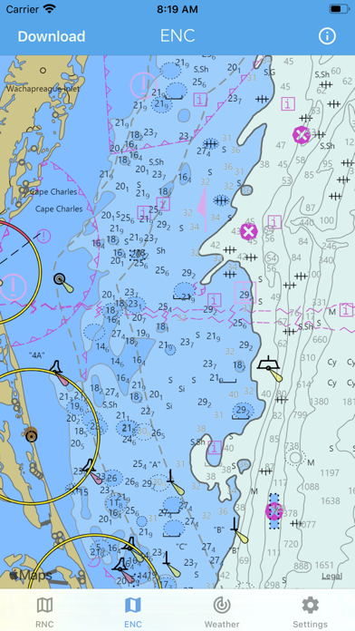
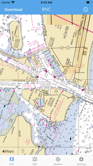
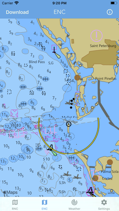
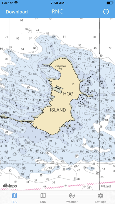
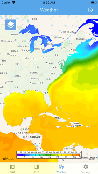
Main Features Include: + NOAA Electronic Navigational Charts (ENC) + NOAA Weather Map Overlays -- ELECTRONIC NAVIGATION CHARTS -- Electronic Navigational Charts (ENC) are vector data sets that support all types of marine navigation. + All charts are available to download for offline use + Chart format options include: NOAA, ECDIS ENC charts display the following information: + Buoys, Beacons, Lights, Fog Signals, Radar + Natural and Man-Made Features + Services and Small Craft Facilities + Seabed, Obstructions, Pipelines + Depths, Currents + Port Features + Traffic Routes + Spec...
Quick Facts
📱 Category: Navigation
👨💻 Developer: LW Brands, LLC
💰 Price: $8.99
⭐ Rating: 4.6/5 from 3,736 users
🏷️ Genres: ["Navigation","Weather"]
🔞 Age Rating: 12+
📦 Size: 14 MB
🔢 Version: 1.14
📅 On App Store: 7 years
🌍 Languages: 3