Hiking Map Austria
By Daniel Tekel · Navigation · Free
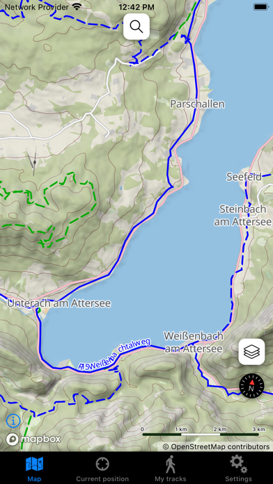
Screenshots


About
This application displays a detailed offline topographical map of Austria with hiking trails, cycling paths, points, hills, etc. You can view it in 2D and 3D mode, now also with a satellite base map. You can record your tracks and the application will then render them on the map, calculate various statistics and height profiles. Recorded tracjs are saved in GPX format and you can easily transfer them to your computer. App's main features: - displaying the current position on the map, - 3D map display, - hybrid satellite map, - cycling map, - your track recording, - search on the map (requires...
Quick Facts
📱 Category: Navigation
👨💻 Developer: Daniel Tekel
💰 Price: Free to download
⭐ Rating: 0.0/5 from 0 users
🏷️ Genres: ["Navigation","Travel"]
🔞 Age Rating: 4+
📦 Size: 909 MB
🔢 Version: 3.3
📅 On App Store: 12 years
🌍 Languages: 4