Smart Leveler
By Mike East · Utilities · Free ✓ Updated 6 days ago
Screenshots

About
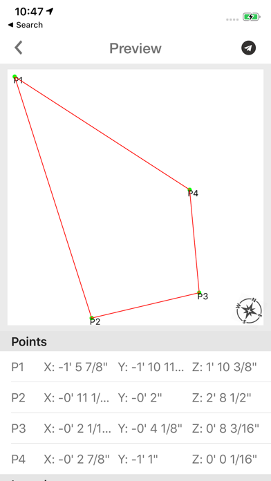
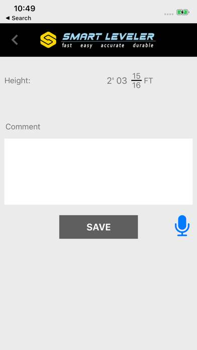
3D Terrain Mapping and Hardscape Leveling System. The only Precision Construction Altimeter on the market that allows you to plot or survey true 3D X,Y, and Z measurements then save, email, or upload directly into CAD. The ultimate instrument for bidding jobs. Figures % of Slope, Engineering Scale- Feet above sea level, includes photos with data, and compass. Designed for the true professional specifically for the Hardscape Industry by Hardscape Pros!
What's New (v1.21)
Quick Facts
📱 Category: Utilities
👨💻 Developer: Mike East
💰 Price: Free to download
⭐ Rating: 4.4/5 from 7 users
🏷️ Genres: ["Utilities"]
🔞 Age Rating: 4+
📦 Size: 18 MB
🔢 Version: 1.21
📲 Requires: iOS 14+
📅 On App Store: 7 years
🌍 Languages: 1
Get the full Utilities market analysis — complaints, features, pricing, competitors.
View Utilities Report — $9.99