Avenza Maps: Offline Mapping
By Avenza Systems Inc. · Hiking · Free Updated 4 months ago
Screenshots
About
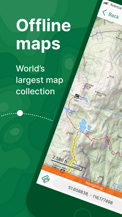
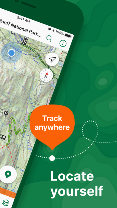
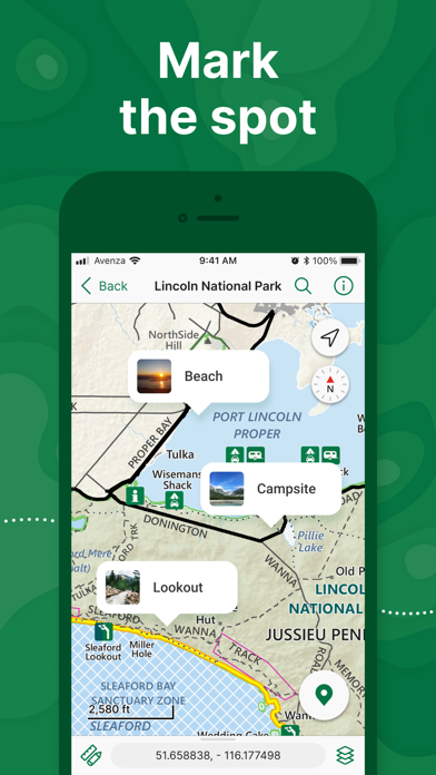
Avenza Maps, #1 app for hiking, biking and all trails. Featuring maps from National Geographic, national parks and more! On your next adventure, stay on track with GPS using offline mobile maps. Make your own maps? Import your custom maps and never get lost off the grid. Explore the largest mobile Map Store of hiking, topographic, cycling, city, nautical, travel, and trail maps. Featuring maps from professional publishers including National Geographic, National Park Service, and the US Forest Service. Discover maps for your next camping, fishing, or backpacking trip with your family and fr...
What's New (v262)
Quick Facts
📱 Category: Hiking
👨💻 Developer: Avenza Systems Inc.
💰 Price: Free to download
⭐ Rating: 4.8/5 from 124,192 users
🏷️ Genres: Navigation, Travel
🔞 Age Rating: 4+
📦 Size: 183 MB
🔢 Version: 262
📲 Requires: iOS 16.0+
📅 On App Store: 15 years
🌍 Languages: 12